
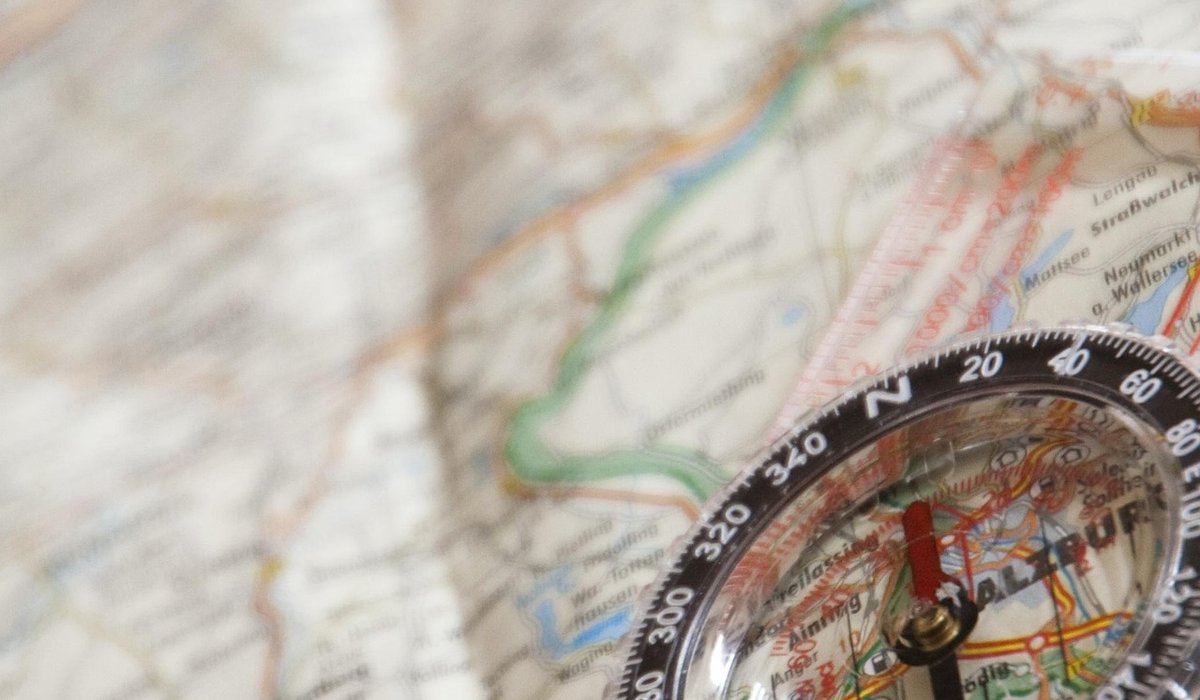
Understanding Map Symbols For Hill Navigation
Reading the ground before you walk it
In clear weather a map is a pleasant confirmation of what your eyes already tell you. In mist, driving rain, or that flat grey light where every feature looks the same, it becomes the only truth you have. The difference between a confident bearing and a nagging doubt usually comes down to how quickly you can read the symbols — a dotted line here, a black tick there — and translate them into what is under your boots. This article covers the marks you will meet most often on British hill maps, chiefly the 1:25,000 Explorer and 1:50,000 Landranger series, and how to use them when you cannot see beyond the next cairn.
Paths, tracks and rights of way
The biggest confusion for anyone new to hill maps is the difference between a path and a right of way. They are not the same thing, and knowing which is which changes your planning.
- Public footpaths are printed in green on Explorer maps as a dashed line. They are a legal right on foot only.
- Bridleways are also green, but use a dash-and-dot pattern. Walkers, cyclists and horse riders all have a right to use them.
- Other routes with public access appear as orange dashes — often permissive paths across private land that can be closed on certain days.
- Paths with no right of way are shown as black dashed lines. These are the faint trods, sheep tracks and estate paths. They may be boggy, overgrown, or simply vanish into a peat hag.
- Tracks are solid or double black lines, usually vehicle width and easier going, though a solid line on the map is no promise of a solid surface.
Colours change between map series — on some sheets rights of way are printed in red — but the principle holds: bright dashed lines are legal and maintained, black dashed lines are best treated as hints. In poor visibility, a green dashed line is a right, not a guarantee, and doubling back to find it is often faster than thrashing on.
Walls, fences and boundaries: your handrails
Solid black lines are walls. Thinner lines carrying small ticks or crosses are fences. Both are gold dust in bad weather, because they give you something physical to follow rather than a bearing to hold. Navigators call this a handrail: a wall, fence or stream running roughly the way you want to go, so you can walk alongside it and only worry about pace and direction.
Wall junctions are the classic attack point and catching feature. If you know you must meet the corner where two walls meet, you can walk on a rough bearing, knowing the wall will stop you if you drift. Ruined walls are drawn with broken or dotted lines, and parish boundaries appear as dotted black lines with no dashes — easy to mistake for a path at a glance, so check the pattern carefully.
Water, bogs and wet ground
Water features are blue. A narrow blue line is a stream, widening as it grows into a river. Watch for the small blue arrows and ticks that mark springs, wells and waterfalls, and for the bridge symbol where a path crosses a stream — a footbridge on the map is a genuine gift on a wet day, while a ford may be impassable after heavy rain.
Peat country deserves special attention. Groughs, the eroded channels that criss-cross blanket bog, are drawn as wandering blue lines and can make a mockery of a straight-line route. The marsh symbol — short horizontal blue dashes with tufts — is your warning that ground is soft, and rough grassland tufts suggest tussocky, ankle-turning terrain. Add the time these cost to your schedule rather than being surprised by them.
Crags, rock and contour clues
Rock is shown in black, and the crag symbol is one of the most useful marks on any hill map. It appears as a heavy line with small ticks pointing down the slope; the ticks face downhill, which tells you which side is the drop. A line of crag symbols means a broken edge you may be able to pick a way through, but in mist, treat it as a barrier until proven otherwise.
Contours do the rest of the work. On Explorer maps they are usually at 5 or 10 metre intervals, with every fifth line thickened and numbered. Close contours mean steep ground; evenly spaced lines mean a steady plod. Combine the two — tight contours plus crag ticks — and you have a clear instruction to contour around rather than climb. Spot heights in black give you firm targets to aim at, and contour shape alone can confirm your position when everything else is grey.
Access land, forestry and the marks that catch people out
Open access land is washed in a pale orange tint, bounded by a thin line and often labelled. It usually means open country where you may roam on foot, but it is not a free-for-all: local restrictions can apply, and the boundary is not always a fence on the ground. Forestry is shown as green blocks, sometimes with ride lines; new planting can swallow a mapped path within a season.
Finally, learn your grid lines and numbers well enough to give a six-figure reference without hesitating, and check the map's date and magnetic variation before you set off. The symbols do not change much, but the ground beneath them certainly does.
tag: Navigation

James Whitcombe Author
Mix slow-release carbohydrates with salty and sweet treats, then eat little and often to avoid energy dips on steep climbs.
YOU MAY ALSO LIKE
Choosing Trail Snacks For Long Hill Days
Jul 3
10Practise balance, hand placements and route choice on easy graded ground before progressing to longer, more exposed mountain days.
read more
Scrambling Skills For Beginners On Rocky Ground
Jun 30
10Research access, parking and the best season for your chosen summit, then enjoy a manageable goal beyond ordinary weekend walks.
read moreHillwalking
-

ERRIC CATONA
Poles reduce knee strain on descents but can clutter rocky scrambles, so adjust their use to the terrain and your experience.
May 19, 2016 at 5.12 pm
Reply
ERRIC CATONA
Arrive late, leave early, use existing pitches and keep noise low so local communities and wildlife remain undisturbed.
May 19, 2016 at 5.12 pm
Reply -
ERRIC CATONA
Increase distance gradually, include steep gradients and train with your loaded rucksack to make full days feel comfortable.
May 19, 2016 at 5.12 pm
Reply
Peak Bagging
Your email address will not be published.